

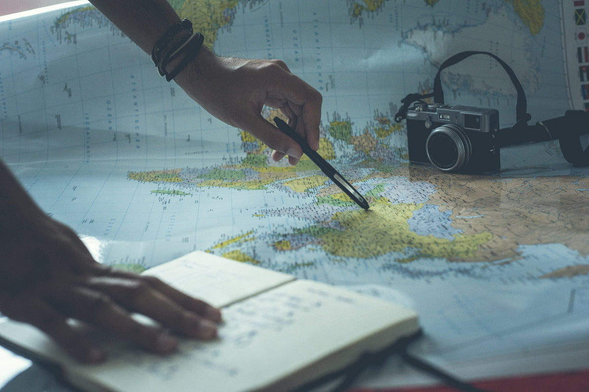
Getting lost rarely happens all at once. It is usually a missed junction, a faint trail, a bit of fog and a growing feeling that nothing looks right. Basic navigation skills catch those moments early and turn them into a short detour instead of a long night.
This guide covers the fundamentals every hiker and camper should know: reading a topographic map, using a compass and getting the most from GPS apps. Pair these skills with the essentials in our emergency and survival collection.
Navigate in layers
The safest approach uses more than one tool:
- Phone or GPS with maps downloaded for offline use.
- Paper map of the area, in a waterproof bag.
- Baseplate compass you know how to use.
- Trip plan left with a trusted person, including your route and expected return time.
Reading a topographic map
Topographic maps show the shape of the land using contour lines, each one connecting points of equal elevation.
- Lines close together mean steep terrain; lines far apart mean gentle slopes.
- Concentric circles mark hilltops and summits.
- V-shaped contours pointing uphill usually indicate valleys and streams; V shapes pointing downhill indicate ridges.
- The legend explains symbols for trails, roads, water and vegetation, and the scale bar lets you measure distance.
Pro tip: before your hike, trace your route on the map and note "handrails", features like a river, ridge or lake you can follow, and "catching features" that tell you when you have gone too far.
Anatomy of a baseplate compass
- Baseplate: the clear plastic base with a direction-of-travel arrow.
- Rotating bezel: the dial marked in degrees.
- Magnetic needle: its red end points to magnetic north.
- Orienting arrow and lines: inside the bezel, used to align with the map.
Declination: the step most people skip
Maps are drawn to true north, but your compass points to magnetic north. The difference, called declination, depends on where you are and can be large enough to put you far off course over a long distance. Many compasses let you set declination so the correction is automatic. Check the current value for your area before you go.
Take and follow a bearing
- Place the compass on the map with its edge connecting where you are to where you want to go.
- Rotate the bezel until the orienting lines align with the map's north-south grid lines, with the orienting arrow pointing to map north.
- Lift the compass, hold it level in front of you and turn your body until the red needle sits inside the orienting arrow.
- The direction-of-travel arrow now points to your destination. Pick a landmark in that direction, walk to it and repeat.
Using GPS and phone apps wisely
Navigation apps are powerful: they show your exact position on a topo map, record your track and can guide you back the way you came. To keep them reliable, download maps before you lose signal, turn on airplane mode to save battery, keep the phone warm in cold weather and carry a power bank. A headlamp matters too, since you do not want your phone doubling as a flashlight.
If you think you are lost
Stop. Staying calm is the most important thing. Think about your last known position, look at your map and surroundings, and make a plan before moving. If you cannot confidently reorient, stay where you are, make yourself visible, use a whistle and call for help if you have signal or a satellite communicator.
Bottom line
Carry layered navigation, practice with your compass on easy trails and always share your plan. These simple habits make every hike safer and give you the confidence to explore further.


 Tents & Shelter
 Sleep Systems
 Packs & Hiking
 Camp Kitchen
 Light & Power
 Survival & Skills
 Camping 101
 Fishing